|
 |
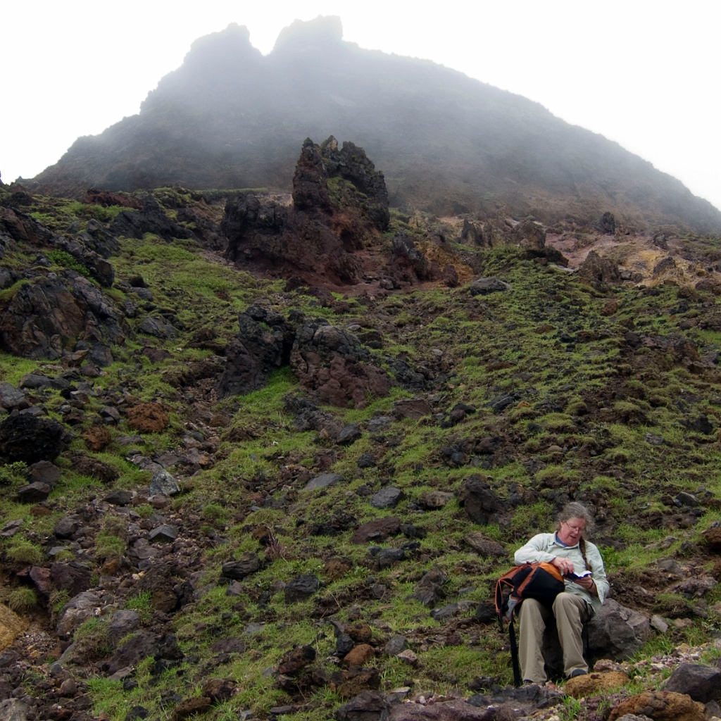
| Taken at Latitude/Longitude:32.875431/131.095270. 3.69 km West Maebaru Kumamoto Japan (Map link) | |
| Camera: Canon PowerShot S90 | Date: 07/06/10 12:16 AM | Resolution: 2348 x 2348 | ISO: 80 | Exp. Time: 1/125s | Aperture: 4.0 | Focal Length: 6.9mm | Latitude: N 32°52'31.55" | Longitude: E 131°5'42.97" | Altitude: 1296 metres | See map | |
| <-/-> Previous image / Next image | Backspace Index page | Home First Image | End Last Image | Space Start/Stop slideshow | |
| Total images: 57 | Copyright © 2010 Keith Dunn | |